Three members of the UHPSI team headed to Chicago last week to deliver research on three topics: (1) an automated process for selecting a specific threshold related to mixture-tuned matched filtering image classification; (2) the process and products related to our 2014 Google Earth Engine Research Award research program in which the minimum noise fraction transformation, mixture-tuned matched filtering, and spectral angle mapping image processing and classification algorithms were developed in JavaScript for Google Earth Engine; and (3) the effects of horizontal positional error on overall and kappa accuracy statistics used to measure map accuracy.
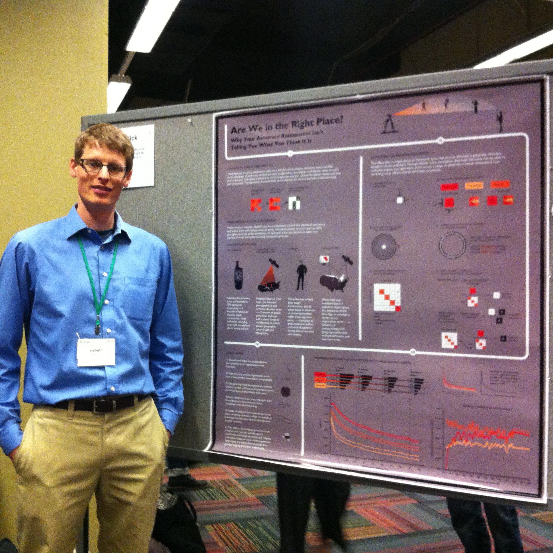
One of three posters delivered at the 2015 AAG Annual Meeting, detailing the changes in map accuracy that stem from horizontal positional error.
The meeting attracted between 6,000 and 10,000 academicians and professionals whose work includes a geographic dimension. The conference spanned an entire week and offered an incredible variety of symposiums, lectures, and workshops aimed at promoting dialogue and collaboration between members of the scientific community and the larger field of geography. The presentations were all delivered as part of the Geographic Information Systems and Technology poster session and received attention from a variety of practitioners.
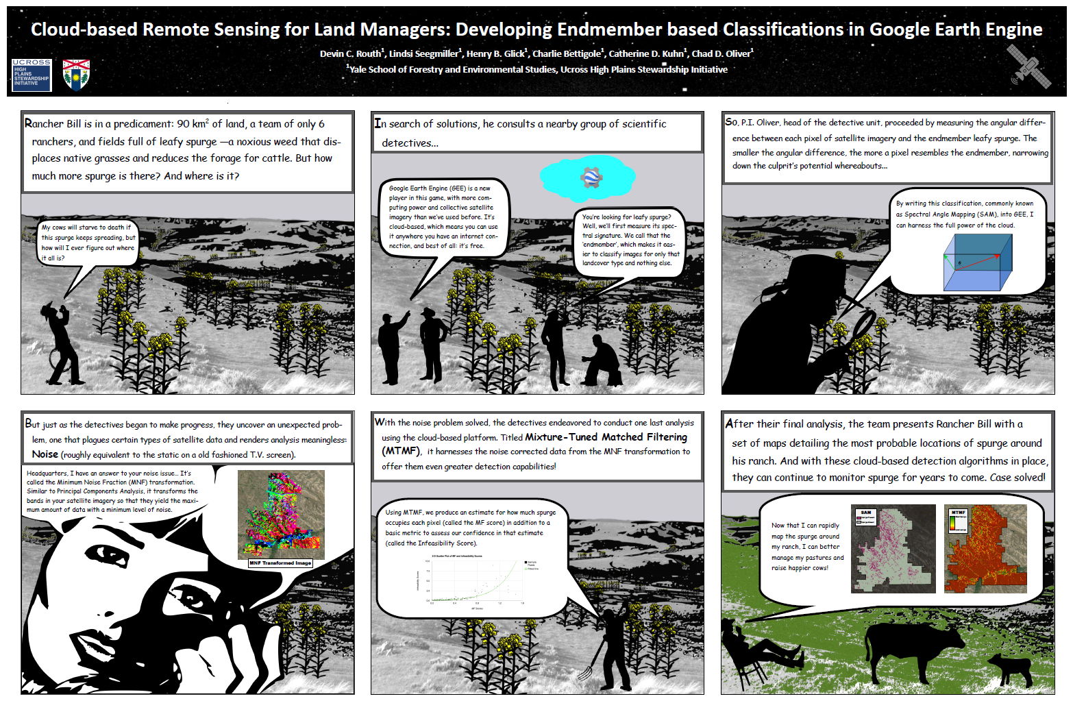
A poster detailing UHPSI’s 2014 Google Earth Engine Research Award research program.
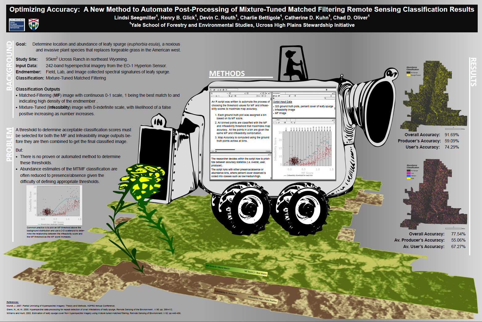
A poster detailing a new approach to post-processing of mixture-tuned matched filtering image classification data.