 One of the major tasks our field team is tackling this summer is mapping and modeling the distribution of leafy spurge (see earlier post) on the ranch. Its distinct yellow flowers and vibrant green leaves become more and more evident as the plains turn from green to brown in the dry heat of July. It is our hope to spatially delineate enough regions of spurge on the ranch, that we can isolate its distinct spectral signature from remotely sensed data, and map spurge distribution and intensity throughout the ranch.
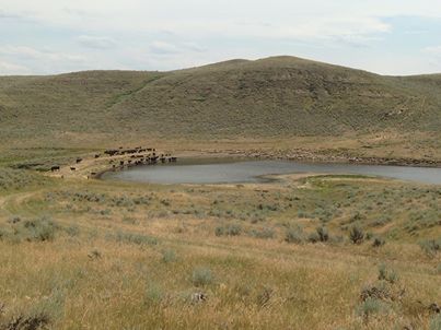
Currently, ranch managers are using targeted grazing and spraying to manage leafy spurge. Quick rotations of cows (which will graze the high quality grasses), followed by sheep (trained to specifically graze on spurge), are then followed by treatments of 2,4-D and Tordon. Devin and Charlie caught a great picture of a cow/sheep rotation in action at one of the Ranch’s reservoirs.
Our remotely sensed spurge maps will help ranchers and land managers at Ucross prioritize grazing rotations and spraying treatments to more effectively control this invasive weed.
