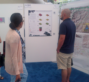
Conference attendees checking out our work
Lindsi Seegmiller recently represented UHPSI at the 2014 ESRI User’s Conference in San Diego, California, from July 14-18. ESRI is the primary vendor of Geographic Information System software, which our research team uses on a daily basis. The conference draws between 10,000 and 15,00 people each year, and is a giant mixing pot of everything related to cartography and geospatial/place-based science. This year, UHPSI entered a poster into the conference Map Gallery, highlighting some of the demographic research we conducted on Wyoming’s aging farming and ranching communities. We were awarded third place in the category of most unique map! Our poster is particularly unusual not in the research findings we present — though they are certainly meaningful — but in the cartographic methods used to display them. Central to the work was building regression models to evaluate the trends among farm and ranch operator ages through time. The results of these models, which are not explicitly spatial, are intrinsically connected to portions of the landscape from which the data (used in analysis) was captured. As such, we applied the model results to a spatial context by representing them in geographic terms. This effectively distilled large amounts of tabular data into a very small number of three-dimensional maps.
We’ll post a clean version of the poster soon. In the mean time, this work was part of our Demographics research program that you can find here.