GIS can feel overwhelming sometimes to the casual user, and it can even intimidate those proficient with the program. However, do not fall into despair, there are ways to make spatial data work for everyone! Despite its complexity, GIS remains an incredible tool that can portray the world in a spatially specific way. You can use GIS in any number of contexts, and maps can be helpful to show information for most any project. At the heart of geography lies a connection to place, and being able to show that connection effectively is the key to spatial representation.
What a wonderful world we live in where spatial data is available for free online. Most, if not all, states (I haven’t checked them all) have some sort of library of spatial data available to casual and professional mappers alike. Through working with the Ucross High Plains Stewardship Initiative, I became intensively familiar with the Wyoming Geospatial Hub (https://geospatialhub.org/), which acts as a collective ground for the geospatial data collected by or for the State of Wyoming’s various agencies and departments. It was here that I was able to find the geospatial information I needed, including habitat preferences for different species, parcel ownership information, waterbodies, land use cover, and other layers.
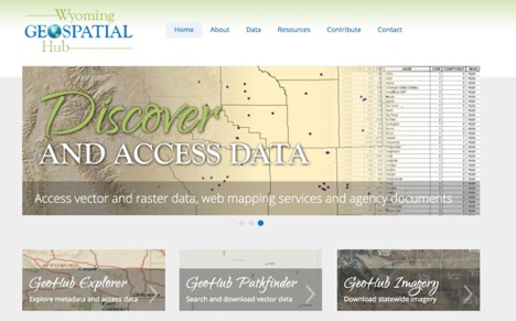
Figure 1: The Wyoming Geospatial Hub
As someone who is currently living in Connecticut, I also recommend the UCONN Map and Geographic Information Center (MAGIC) (http://magic.lib.uconn.edu/connecticut_data.html) which has an array of Connecticut information for you to apply to your New England based project. It has never been easier to tap into the wealth of information in the world.
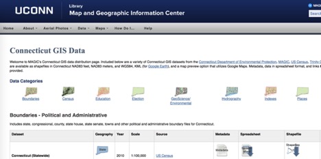
Figure 2: The University of Connecticut’s Map and Geographic Information Center
After downloading that data, users often need to use GIS software to analyze or visualize the data. A popular platform is the commercial ArcGIS software by Esri. Although it can be expensive for the individual user to access, ArcGIS also has a free nonprofit license and a home user license that organizations can utilize. Thankfully, QGIS has made it even easier for rogue individual mappers to utilize spatial data. The Q stands for Quantum, and this open source platform avails itself to users free of charge and with relative quickness. This platform relies on user created plugins to capture the full power of geospatial processing, so only download what you really need to keep things running smoothly on your personal computer. Free geospatial data and open source computing platforms make it easy for you to use maps to display spatial information effectively to enhance your projects.
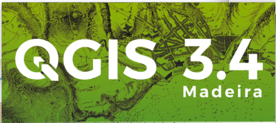
Figure 3: QGIS is an Open Source Mapping Software
Michael Storace, Research Assistant | Michael is a Masters of Environmental Management candidate at the Yale School of Forestry and Environmental Studies studying ecosystem conservation and land management. He is interested in planning conservation to achieve landscape scale habitat connectivity for both ecological function and social benefit. With Ucross, Michael is conducting geospatial analysis of conservation planning and prioritization in northeastern Wyoming. Michael graduated from the University of Vermont with a BS in environmental studies and focused on environmental policy and water quality. See what Michael has been up to. | Blog