In tandem with the collection of spectral signatures (see previous post), we recently began an intensive burst of field data collection. Using a predictive model of where leafy spurge is likely to be located, we divided the Ucross ranch into five strata, each of which corresponds to a different (predicted) quantity of spurge. We then generated 60 random locations within each stratum where we will evaluate the land cover. For each site, we use a handheld GPS unit matched to our Geographic Information System to physically locate the site in the field. Then, we mark out a 30m x 30m square area and evaluate spurge presence, the percentage of spurge cover, and the majority land cover type(s). We also capture photographs to use for future reference. Of the 300 sites scattered across the 22,000 acres of rangeland, we have complete 76 so far. Each site takes some time to reach, though the use of four-wheel drive trucks and back-country “two-tracks” make the process much faster. Over the next five days we will visit the remaining sites
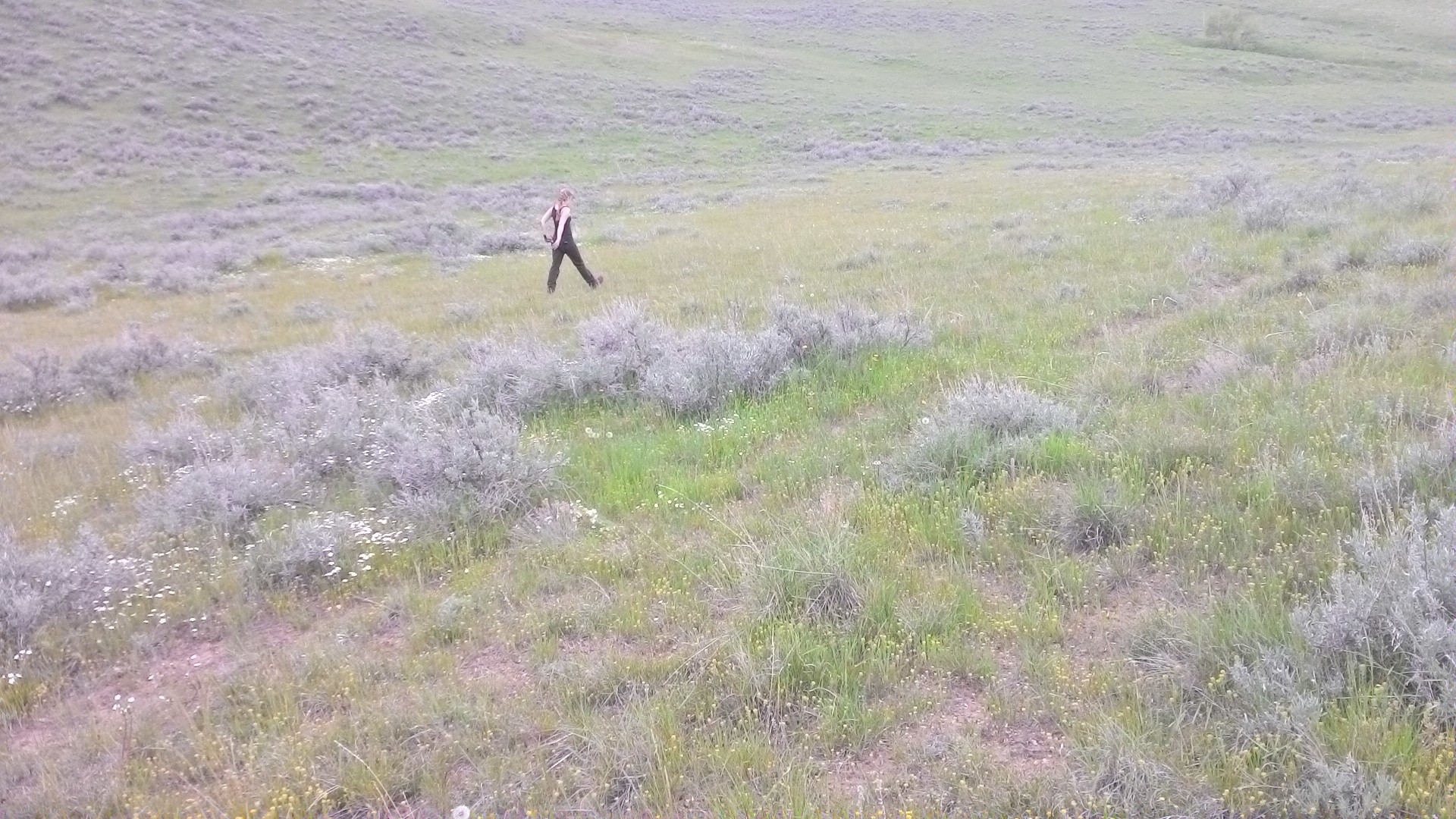
Having located a field site, Lindsi paces off 15m from the site’s center to locate one edge. This site was assigned to the mixed land cover class, as it contained some sagebrush, pasture grasses, and barren ground.
Gathering field data is a challenge in many disciplines. In this day and age, we are able to use technology to speed up the process. For our work, we rely heavily on a Geographic Information System (GIS) to store all of our geographically relevant information. Where we are working on a landscape, almost all of our information has a geographic component. To speed up the actual recording of data, we have been relying on ArcPad, a GIS computer program loaded onto tablets. Using a desktop computer, we can “check out” our primary data onto the tablets each day. In our spurge assessment, we are checking out the randomly generated field site locations. Then, in the field, we can edit on the tablets digitally to save us from having to type up our results when we return to the office. At the end of the day, we “check in” the changes, new data, and photos captured in the field. During this step, the field data gets synchronized with the desktop computer data, merging it into a single useful dataset. We repeat this process each day to make sure we head to the field with the most up-to-date information possible.
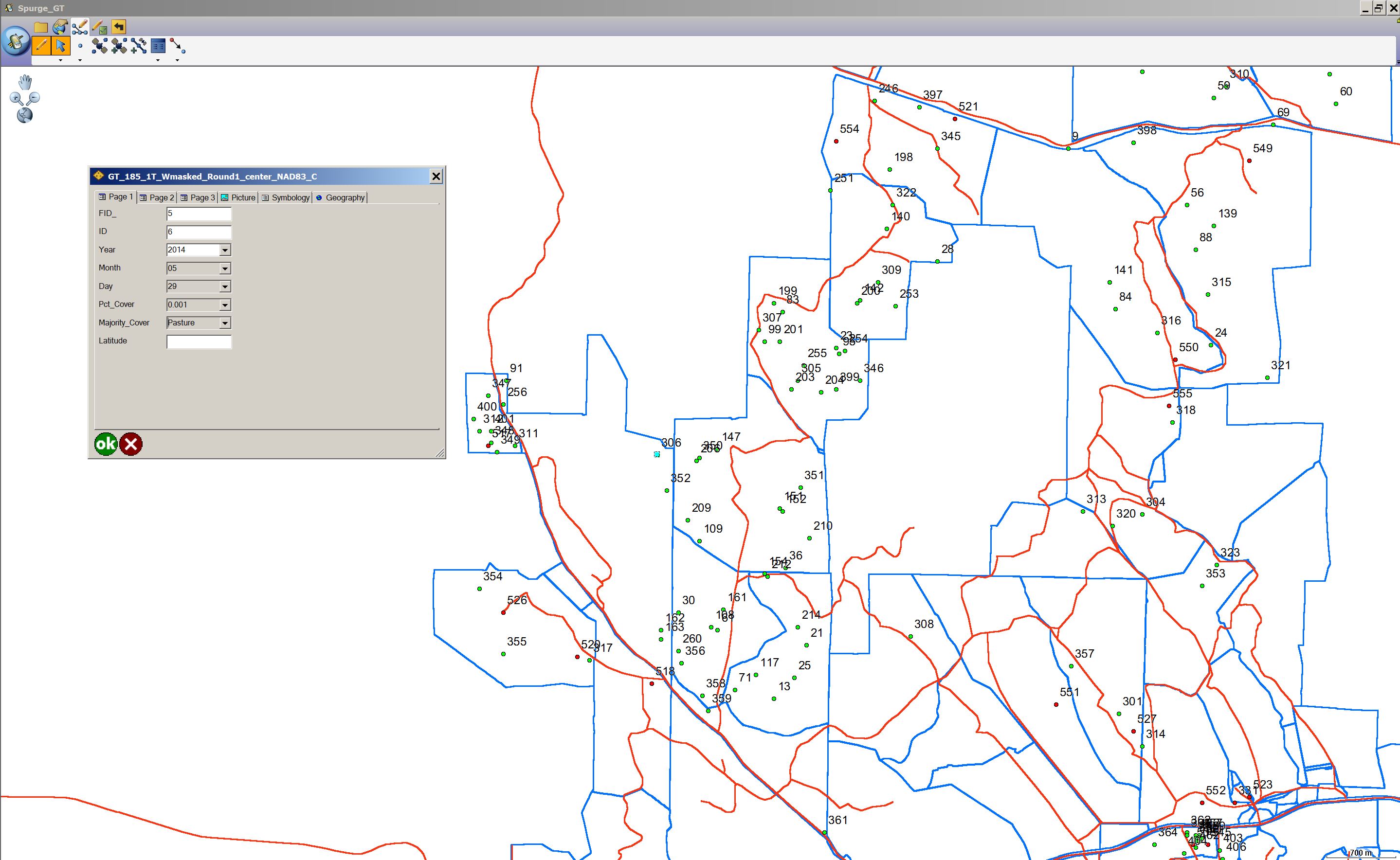
A screen shot of our field data recording template utilized through ArcPad software on handheld tablets.