Gaining a Deeper Understanding of Ecosystems Through Collaboration—Rowan Sharkey
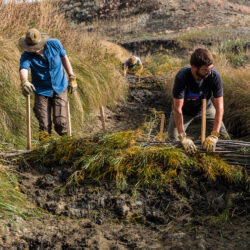
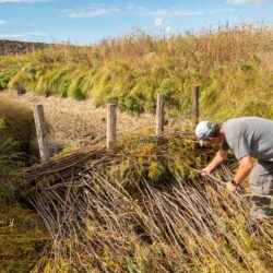
The past year working with the Ucross High Plains Stewardship Initiative has presented a wide range of experiences, connections, and memories that I find carrying me forward on the path of conservation. Throughout this process, our team has been fortunate enough to collaborate with incredible partners such as The Nature Conservancy-MT, World Wildlife Foundation, and Read more about Gaining a Deeper Understanding of Ecosystems Through Collaboration—Rowan Sharkey[…]


